Walks and Excursions

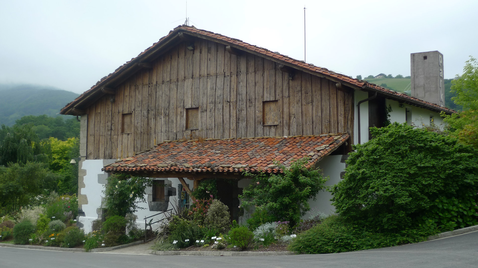
Circular routes starting from the farmhouse in the Pagoeta area

All proposed routes can be done on foot or by bike and have different difficulty levels. For each one, you can check its main details and download the GPX file to follow the route from your mobile or watch.

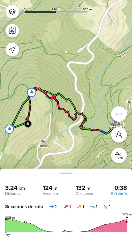
Bizkar – Iturraran – Bizkar

Excursion to the Pagoeta Natural Park interpretation center and its botanical garden.

P1050001

Distance: 3.24 km
Cumulative elevation gain: 119 m
Difficulty level: EASY

mobile route

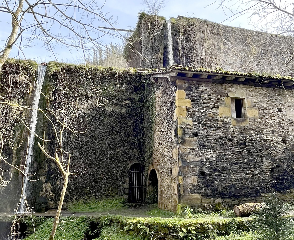
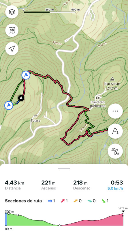
Bizkar – Agorregi Ironworks - Bizkar

Excursion to the Agorregi Ironworks, which can be visited (call in advance to book)
BizkAgorregi Ironworks

Distance: 4.43 km
Cumulative elevation gain: 213 m
Difficulty level: EASY

mobile route fa

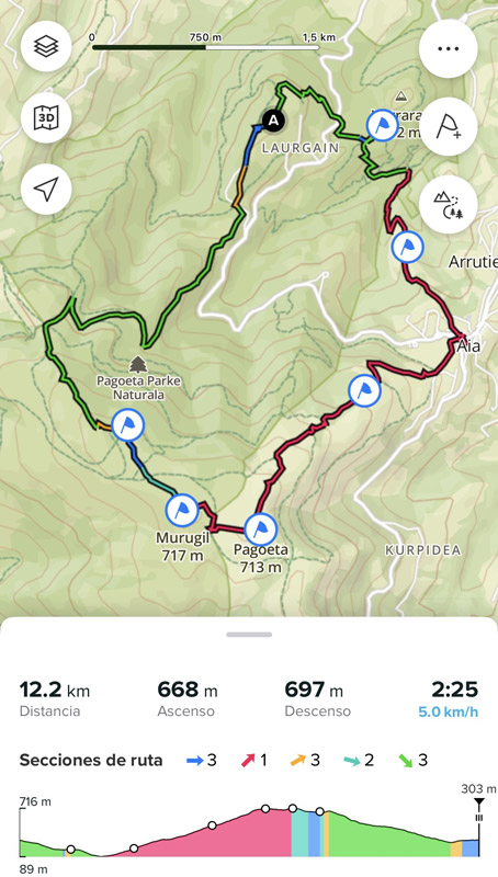
Bizkar – Mount Pagoeta – Bizkar (on foot)

Excursion to Mount Pagoeta, which gives its name to the Park, and Mount Olarteta, located in the same pass.
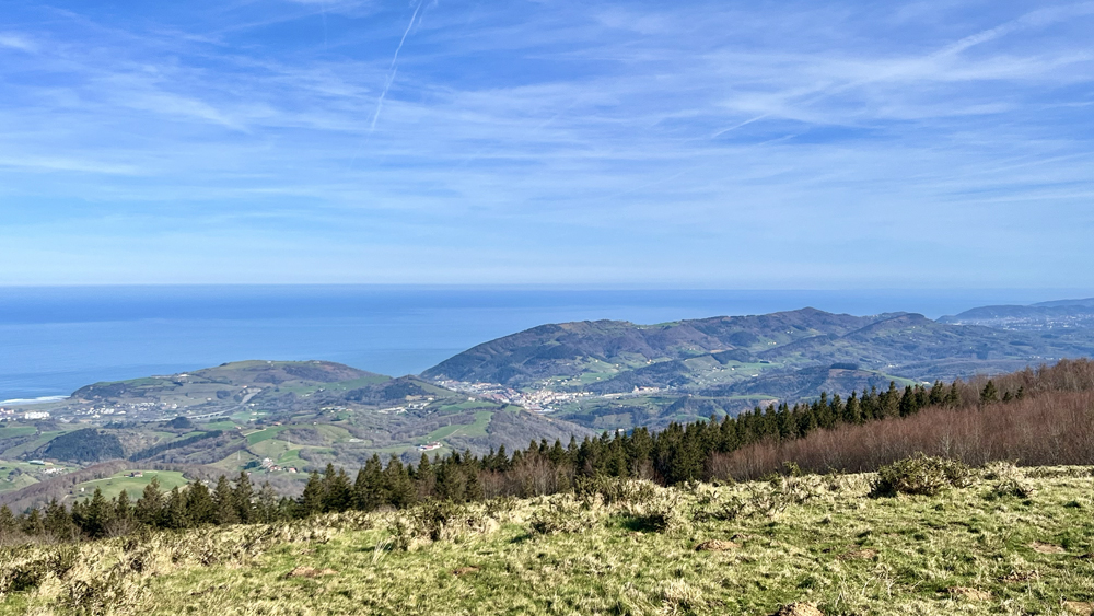
Pagoeta Walks

Distance: 12.2 km
Cumulative elevation gain: 677 m
Difficulty level: MODERATE

mobile route mp

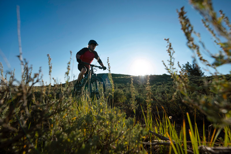
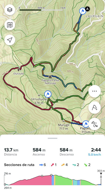
Bizkar – Mount Pagoeta – Bizkar (by MTB)

Excursion to Mount Pagoeta, which gives its name to the Park, and Mount Olarteta, located in the same pass.
bike route

Distance: 13.69 km
Cumulative elevation gain: 529 m
Difficulty level: MODERATE

mobile route b

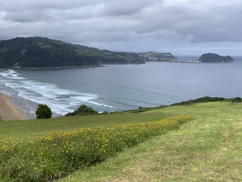
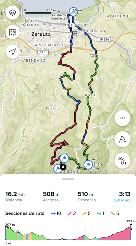
Bizkar – Zarautz – Bizkar

Excursion to Zarautz beach.

Zarautz Walks

Distance: 16.16 km
Cumulative elevation gain: 472 m
Difficulty level: MODERATE

mobile route z
Logo Bizkar
Privacy Overview

This website uses cookies so that we can provide you with the best user experience possible. Cookie information is stored in your browser and performs functions such as recognising you when you return to our website and helping our team to understand which sections of the website you find most interesting and useful.